Space in the dataARC tool
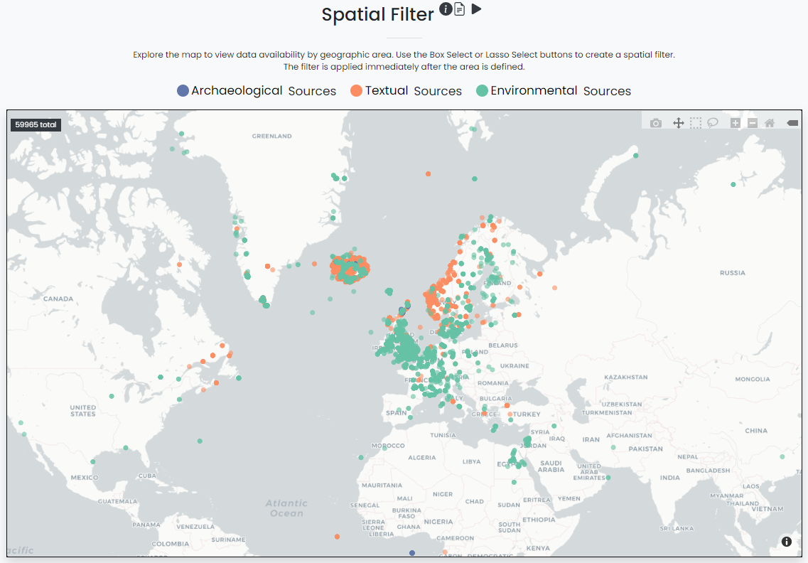
DataArc’s study area encompasses a broad region across the North Atlantic, with data from different countries, including Iceland, Greenland, Canada, Scotland, England, the Faroe Islands, Norway, Sweden, and Denmark. Some of the data linked through dataARC, such as models of the climate at different times, provides information about the whole region. Other data, such as animal bones from a midden on a specific farm, provide information about a more local area. All our data are represented on the map as points because it is based on materials, mentions, or samples that come from a specific location.


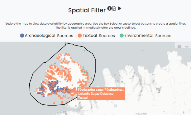
In the dataARC tool you can search spatially by drawing a bounding selection by using the box selection or lasso selection tools. The bounding selection search allows for the aggregation of data at any scale, from a single point to a transect across a wide area like western Iceland.
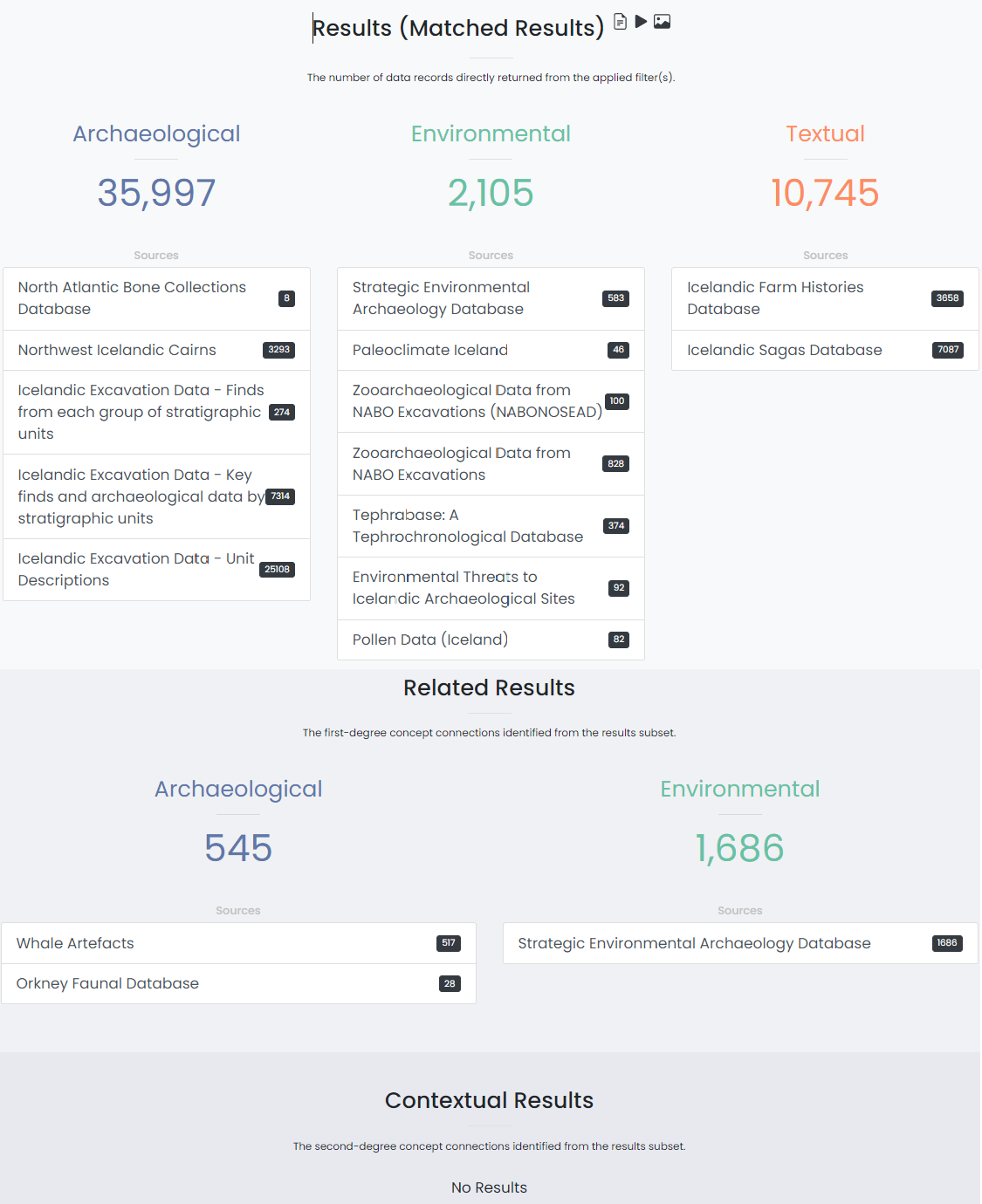
When you search for data now, your results include all the data where the findspot or sample location is within the search area. Ideally, the results would include all the data valid for your search area. Why isn’t it this way already? Modeling the spatial area for which a given piece of information is relevant is a tricky exercise. Do animal bones from a midden on a farm tell you only about that farm, that farm and its neighbors, or the economy of the whole region? The bones may tell you different things at each of these extents. Developing a system for modeling the spatial extents of different data types is part of the research community’s ongoing work.

