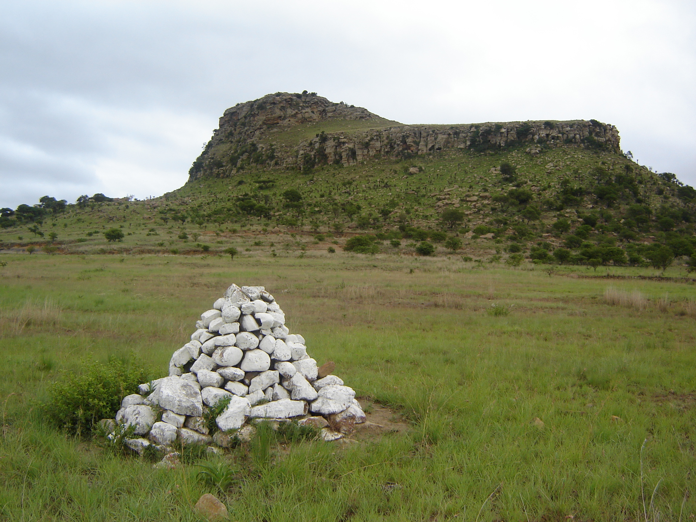
Northwest Icelandic Cairns
Principle author: Mar Roige Oliver
Additional contributors: None
Contributing institution: University of Glasgow
Publisher: University of Glasgow
Date Created Begin: November 1, 2018
Date Created End: October 1, 2019
Spatial Coverage: Iceland
Temporal Coverage: Early Medieval Period; High Medieval Period; Late Medieval; Early Modern; Modern
Subject List (FISH Vocabularies): Archaeological Objects: Pollen, Tephra; Archaeological Sciences: Palynology, Pollen, Radiocarbon Dating, Tephrochronology, Specialist Sampling, Lead Isotope Dating, Foraminifera Analysis; Events: Core sampling; Historic Characterization: Palaeolandscape Component, Peat Deposit
Relation: The DigitalGlobe Foundation https://discover.digitalglobe.com/ (given imagery for free with citation to Digital Globe)
Language: English, some Icelandic
Format: jSON
Type: Dataset
Creative Commons Licensing: CC BY
Collection method(s): Desk-Based Assessment, Aerial Photograph Interpretation
Objects/samples collected: Cairns, Aerial Photographs
Why are you collecting this data/overall objective?: Collected because an accessible Westfjords cairn dataset could not be found.
How will you use this data?: I used it as part of a larger research project which examined the role of navigational cairns in relation to roles and farms in the Westfjords
Important points of interest within data: Objects identified as cairns seem to be mostly located near the coast; There are 3293 objects identified as cairns in this dataset; This cairn identification took several weeks of meticulously going over the zoomed-in images and marking the points.
Publications: Roigé Oliver, Mar (2020) Cairn and landscape interaction: a study of human ecodynamics in the North Atlantic. MPhil(R) thesis, University of Glasgow.
Roigé Oliver, Mar. (2019). Cairn and Landscape Interaction: A Study of Human Ecodynamics in the North Atlantic [Data set]. Zenodo. Publication link
Description: The Northwest Icelandic Cairns dataset identifies and maps possible navigational cairns (pile of rocks set up as a marker, monument, or memorial typical in the North Atlantic) in the Westfjords of Iceland identified from monochromatic aerial imagery (Imagery dates: 2017 and 2018). Only the cairns that are between one and three meters in width were mapped as it was assumed that bigger cairns are not marking the road but serving as markers for bigger structures such as medieval assembly points. To avoid and reduce the incorrect marking of non-cairn features, all mapped cairns were given a number from one to five depending on their likelihood of them being a cairn with one being the least likely and five the most.
Retrieve full project and record-level metadata for Northwest Icelandic Cairns on Github.

Data provided by
